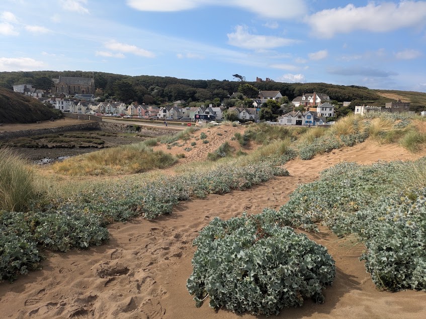
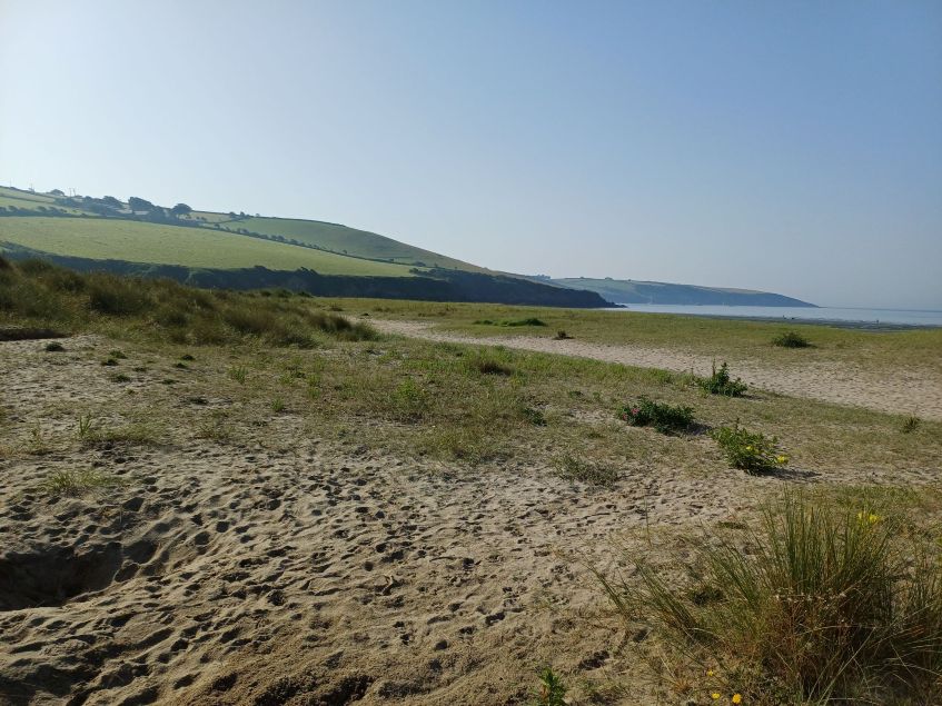
Making Space for Sand (MS4S) is a coastal resilience and climate adaptation project delivered through Cornwall Council in collaboration with Cornwall Wildlife Trust (CWT), University of Plymouth (UoP), South West Coastal Monitoring (SWCM) and Cornwall Community Flood Forum (CCFF). The project is funded by DEFRA as part of the Flood and Coastal
Resilience Innovation Programmes (FCRIP), which are managed by the Environmental Agency (EA). It brings together coastal science, ecology, community engagement and practical land management to understand how Cornwall’s beach-dune systems are changing and how they can be managed to become more resilient to sea-level rise, coastal erosion and storm events.
CEC has worked with University of Plymouth (UoP) and South West Coastal Monitoring as part of the multidisciplinary project team, providing complementary ecological and coastal-process expertise. The programme has considered a large portfolio of beach-dune sites across Cornwall, progressing from regional evidence gathering and assessment to more detailed ecological work and the production of multiple site-specific Beach Dune Management Plans (BDMPs). These plans BDMP’s came as a result of collaboration with the MS4S project manager, and translate the combined evidence base into practical short-, medium- and long-term management and adaptation actions.
This combination of regional-scale assessment and targeted site investigation is directly transferable to the proposed Environment Agency commission: using existing datasets and spatial evidence to understand change at a landscape scale, identifying locations experiencing the greatest pressures, and focusing detailed ecological investigation and management planning where it will add greatest value.
Combining ecological evidence with coastal-change science
A key strength of MS4S has been the integration of ecological assessment with evidence of how the physical coastline has changed and is likely to change in future. CEC’s work has included UK Habitat Classification mapping, habitat condition assessment, identification of invasive non-native species (INNS) and other pressures, assessment of habitat restoration opportunities, and development of practical management recommendations.
The ecological evidence is considered alongside historic mapping, Shoreline Management Plan policy, National Coastal Erosion Risk Mapping (NCERM), South West Coastal Monitoring (SWCM) data and the coastal-process research undertaken by UoP. This allows management decisions to consider both the current ecological condition of habitats and their likely future physical setting.
UoP’s work has quantified historic changes in dune-toe position and sediment volume using airborne LiDAR and developed and evaluated approaches for predicting future dune evolution under sea-level rise. The research demonstrates that dune systems do not respond uniformly: some retreat and lose sediment, while others accrete or show more complex patterns. This reinforces the need for an evidence-led screening process that identifies where pressures are greatest before more detailed assessment is targeted.
From regional evidence to multiple Beach Dune Management Plans (BDMP)
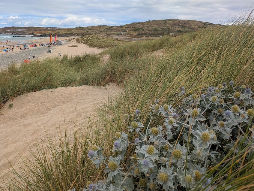
The MS4S programme has not relied on a single site example. CEC has produced multiple BDMPs for priority dune systems, using a consistent strategic framework while responding to the distinct ecology, geomorphology, access pressures, infrastructure constraints and management context of each location. Across the plans, the approach links baseline evidence to practical actions for habitat restoration, access management, INNS and scrub control, sediment mobility, infrastructure adaptation, monitoring and community stewardship.
Adaptive management, monitoring and community delivery
The BDMPs are designed as adaptive management tools rather than static plans. Straightforward site-based measures, such as fixed-point photography and post-storm walkovers, are combined with periodic review of SWCM beach-profile and LiDAR information and NCERM projections.
Management can therefore respond to observed change. Planting is not proposed automatically following scrub removal: natural recolonisation is allowed first, with targeted planting considered where recovery remains limited. Similarly, measures to manage mobile sediment are intended to remain light-touch and targeted so that essential infrastructure and public safety can be protected without unnecessarily restricting natural dune processes.
The project also recognises that long-term adaptation depends on landowners, communities and organisations responsible for infrastructure and coastal management. The BDMPs provide roles for landowners and community groups in habitat management, INNS surveillance, monitoring, practical restoration and visitor engagement, helping to embed stewardship beyond the lifetime of the project.